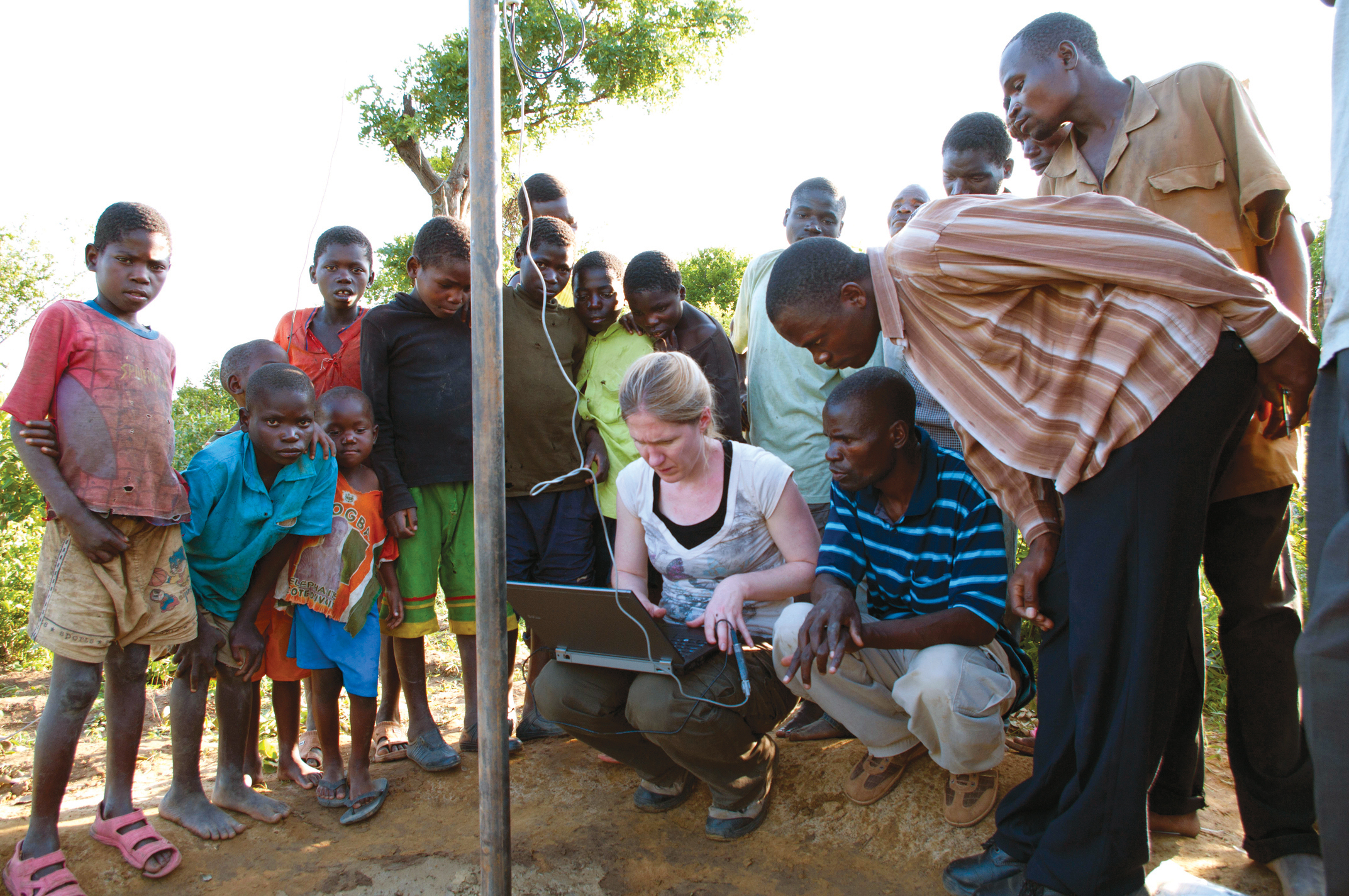
Led by Darcy Boellstorff of Bridgewater State University, this project's international team is focused on acquiring needed geographic information for use in a geographic information system (GIS) relief work for planning in crop cultivation, irrigation and agribusiness. World Relief Malawi has been actively involved in supporting economic development projects with more than 400 poor households in the Mzimba area of northern Malawi with the focus on enabling farming families to escape poverty through increased agricultural production of high market-value crops, livestock sales, and value-added processing, with the goal of higher levels of wealth, better food security and improved nutrition. Target beneficiaries are orphan support families, caregivers, people living with HIV/AIDS and ministry team members.
The main outcome of this project is a geographic information database and training in GIS that enables farmers and relief workers to identify and prioritize areas for ongoing and new attention, thus improving efficiency and success of relief work in Mzimba.
Project website: Sustaining Malawi
Project Deliverables:
- "Geographic information accessibility for improving horticultural-based income generation in the Mzimba district of Malawi," paper presented at Association of American Geographers session, 2011.
